RemSens
Hinweis: Die folgenden Informationen sind nur in Englisch verfügbar.
Radar Interferometry
Radar instruments provide not only radar images but measure precisely distances with sub-wavelength accuracy. In this project you will learn the two most important radar techniques: differential radar interferometry [Gabriel] and across-track radar interferometry [Zebker]. Differential radar interferometry is an important tool to generate deformation maps with mm to sub-mm precision even from space and regardless on weather conditions. Across-track interferometry is nowadays used to generate global digital elevation models [Farr, Krieger] with a vertical precision on the meter scale or even below.

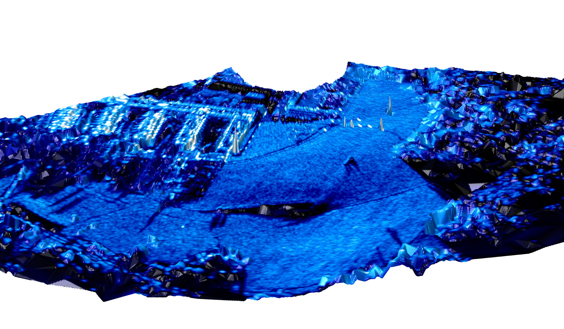
During a field campaign we will use a ground based radar interferometer [Werner, Strozzi] installed ontop of the HPP tower (physics building) to measure the displacement of radar reflectors with sub-mm accuracy and will acquire data to generate a digital elevation model of the Hönggerberg ETH campus. You will learn the relevant processing steps and gain experience in Matlab programming.

For this course it is mandatory that you have already some experience in MATLAB programming and that you have some knowledge about radar interferometry (BSc Lecture: 102-0617-00L "Basics and Principles of Radar Remote Sensing for Environmental Applications" or BSc Lecture 102-0675-00L "Erdbeobachtung"). It is highly recommended that you visit the MSc lecture 102-0617-01L "Methodologies for Image Processing of Remote Sensing Data" in parallel.
References:
[Gabriel] A. K. Gabriel, R. M. Goldstein, and H. A. Zebker, “Mapping Small Elevation Changes Over Large Areas: Differential Radar Interferometry,” Journal of Geophysical Research, vol. 94, no. B7, pp. 9183–9191, 1989
[Zebker] H. A. Zebker and R. M. Goldstein, “Topographic mapping from interferometric synthetic aperture radar observations,” Journal of Geophysical Research: Solid Earth, vol. 91, no. B5, pp. 4993–4999, 1986.
[Farr] T. G. Farr et al., “The Shuttle Radar Topography Mission,” Reviews of Geophysics, vol. 45, p. RG2004,1-33, 2007
[Krieger] G. Krieger et al., “TanDEM-X: A satellite formation for high-resolution SAR interferometry,” IEEE Transactions on Geoscience and Remote Sensing, vol. 45, no. 11, pp. 3317–3341, Nov. 2007.
[Strozzi] T. Strozzi, C. Werner, A. Wiesmann and U. Wegmuller, "Topography Mapping With a Portable Real-Aperture Radar Interferometer," in IEEE Geoscience and Remote Sensing Letters, vol. 9, no. 2, pp. 277-281, March 2012.
[Werner] C. Werner, T. Strozzi, A. Wiesmann and U. Wegmuller, "A Real-Aperture Radar for Ground-Based Differential Interferometry," IGARSS 2008 - 2008 IEEE International Geoscience and Remote Sensing Symposium, Boston, 2008, pp. 210-213.